“How is the training going?”
Usually it’s an innocent question, so I just ignore it. Or say that I’ve been reading books.
I’ve been chipping away at a to do list for the last six months or so while working in Sydney, the hardest thing has been to organise insurance. Please, can no one make a claim, insurers that cover paragliding are an endangered species – I only found one (as an Australian resident). More details on our preparation and gear here.

Of course I am also very excited about the event, so I put together old photos from previous visits to the Alps, associated with each turn point.
Starting with a hike from Salzburg to the Gaisberg. Let’s hope the weather is better than last time!
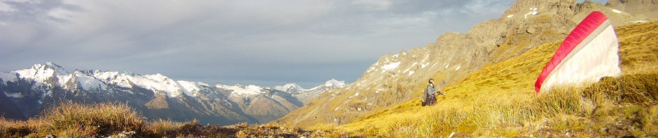
1 Salzburg / Gaisberg

South 54km past limestone massifs to Wagrain, where we must sign a board in the valley.
2 Wagrain Kleinarl

Northwest 89km past Berchtesgaden and Kossen to familiar Chiemsee, again in the valley.
3 Aschau Chiemsee

South 120km over Wild Kaiser and over the main alpine chain into Italy.
4 Kronplatz

Northwest 113km but more around Innsbruck airspace, crossing northeast of Zugspitze to another valley turn point.
5 Lermoos

West 102km into Switzerland, further north than in the two previous editions – new territory for me.
6 Davos

South of but not far away from the via alpina walk, 109km, past the headwaters of the Rhine.
7 Titlis

38km Past the annoying Meiringen airspace and into the Bernese oberland.
8 Eiger

West 121km out of Switzerland and into France.
9 Mont Blanc

Southwest 96km through the northern French Alps.
10 St Hilaire

Across the wide valley and eastward 118km towards the Italian border.
11 Mt Viso

Pushing against the valley wind flow 80km to the French pre-Alps.
12 Cheval Blanc

And the home stretch 91km toward the sea.
13 Peille


Pingback: Paragliding in Pakistan | Flying paragliders in the mountains